


Field note 21 The Long North
I named that day in the log VOLCAN!
Flown in from Edinburgh on 5 August 2021 and out to Fagradalsfjall the same day, while it was still erupting. Then Route 1 the whole way round: Skogafoss, Vik, Jokulsarlon, the east fjords, the north, and back to Reykjavik seven days later.From Rodrigo's road archive
Touch or hover a marker on the route to see what is there.
The Long North
I named that day in the log VOLCAN!
Flown in from Edinburgh on 5 August 2021 and out to Fagradalsfjall the same day, while it was still erupting. Then Route 1 the whole way round: Skogafoss, Vik, Jokulsarlon, the east fjords, the north, and back to Reykjavik seven days later.
- 8 daysKeflavik to Keflavik
- Route 1The ring road, right round
- 2021Fagradalsfjall erupting
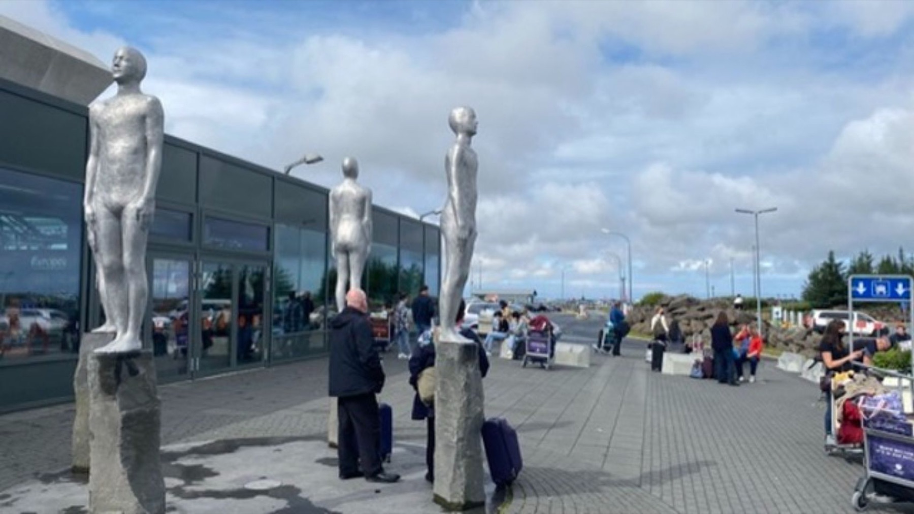 21.1Keflavik, 5 August. Off the plane from Edinburgh and straight out to the peninsula.21.2Standing on rock that was liquid the week before, watching the next batch arrive.
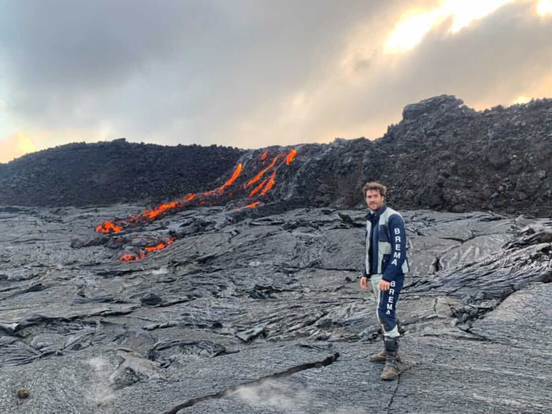
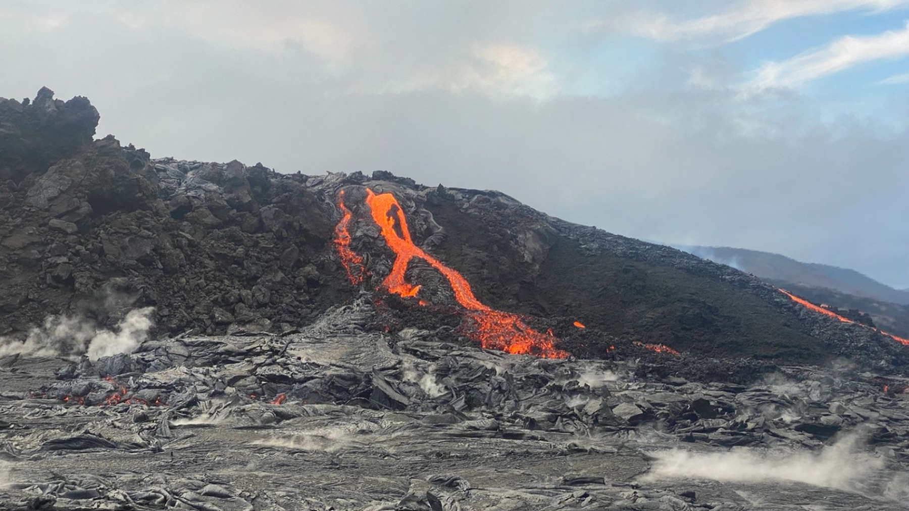 21.3The flow front, close enough to feel. The step in my log for this day is named VOLCAN!
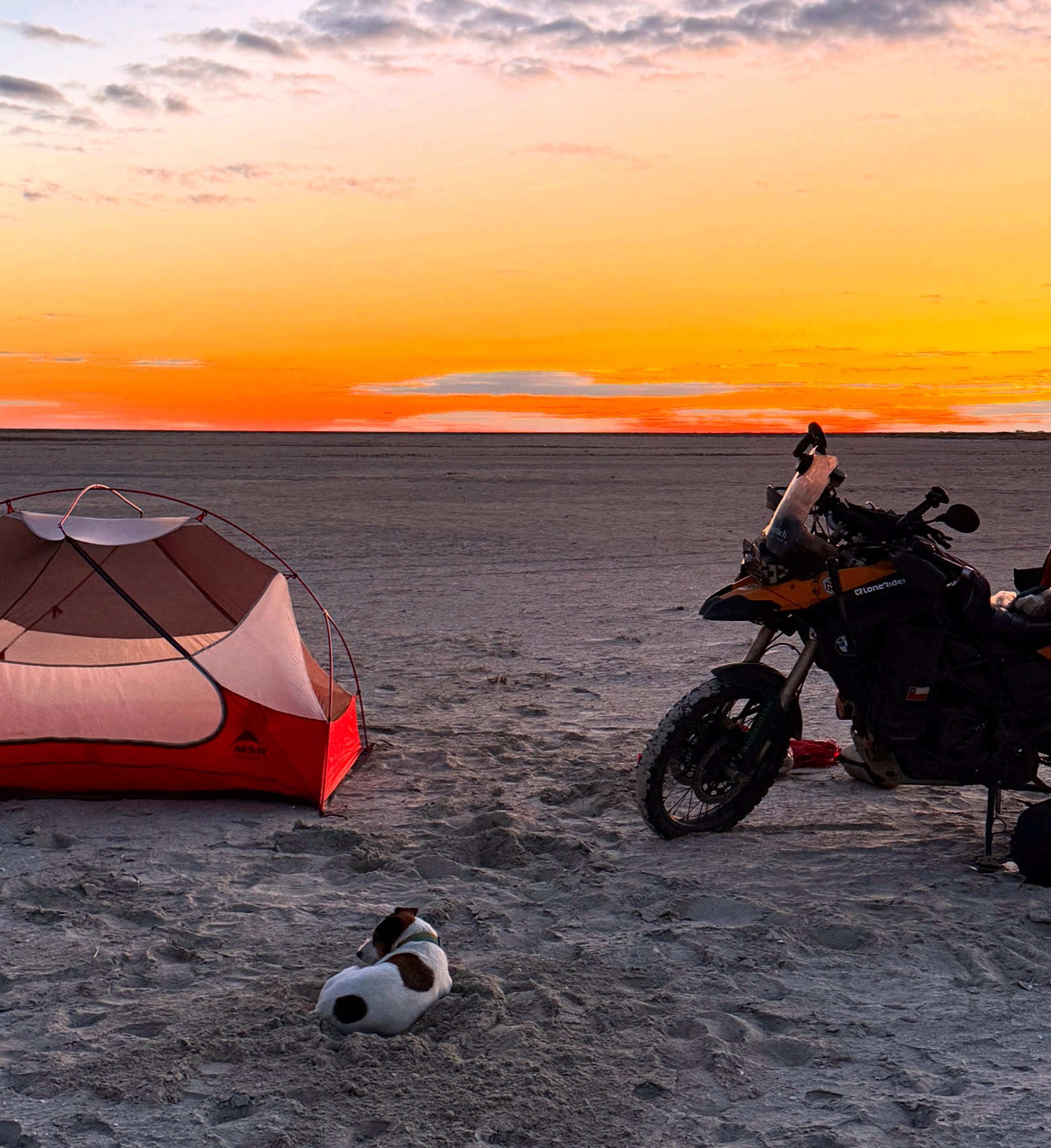
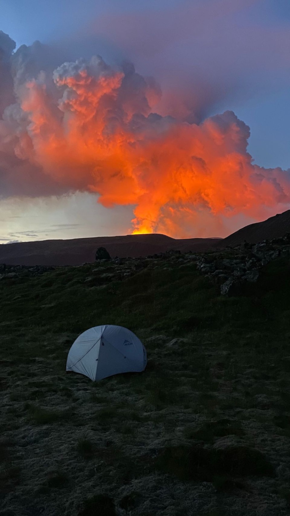 21.4Camped on the ridge with the eruption for a night light.
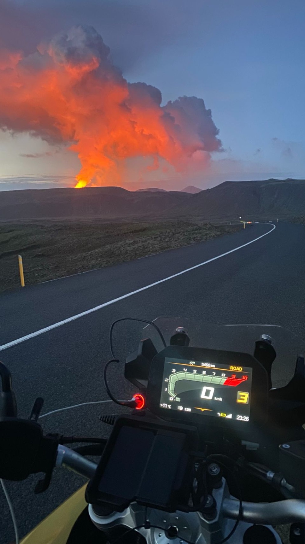 21.5The view over the handlebars on the road back. The orange is not the sunset.
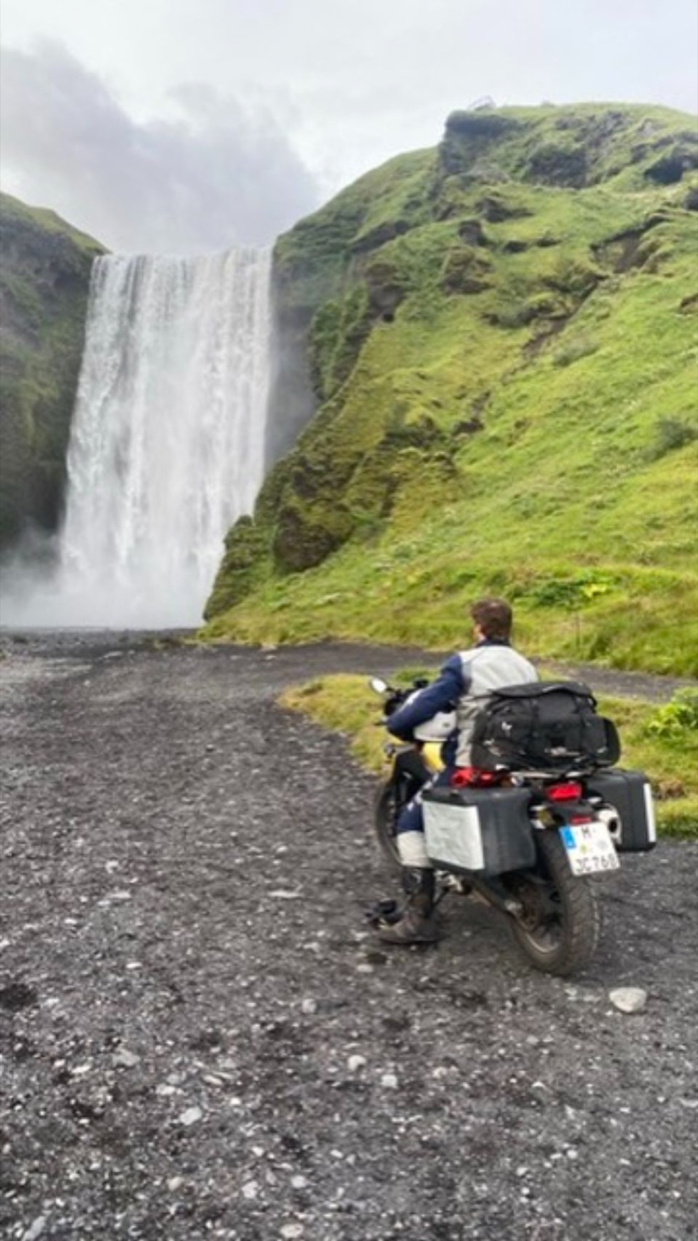 21.6Skogafoss, sixty metres straight down, and a car park full of people ignoring the rain.
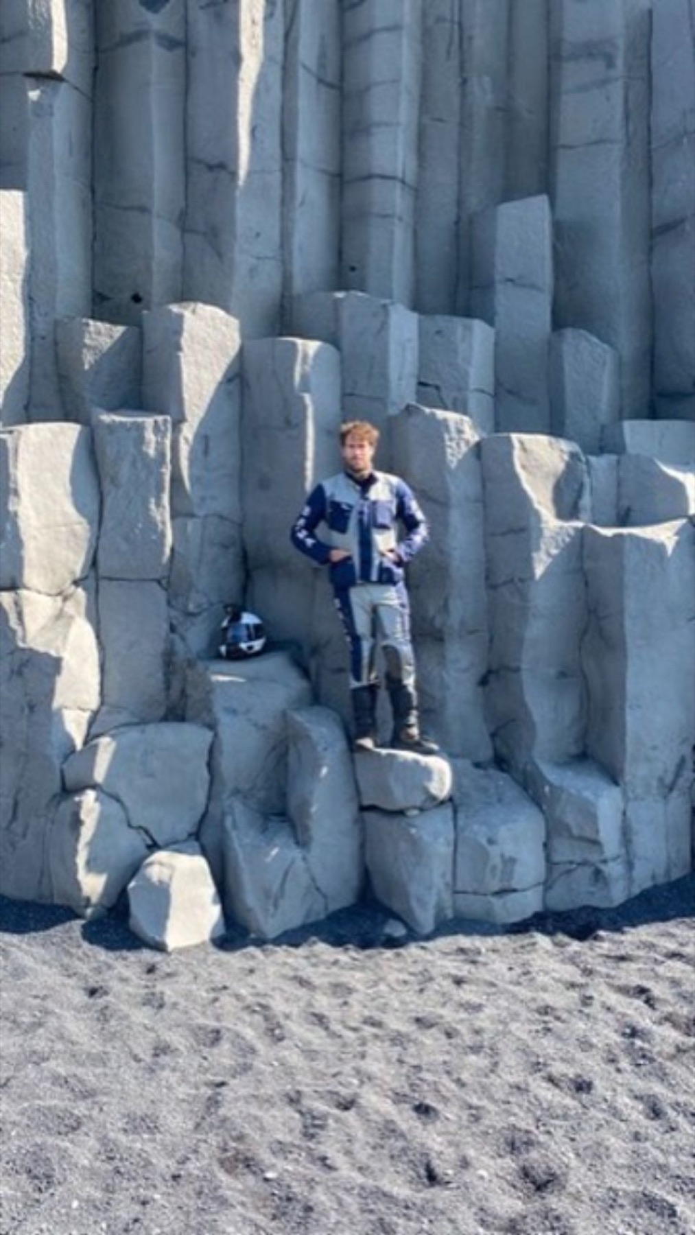 21.7The basalt columns at Reynisfjara, on the black sand near Vik.
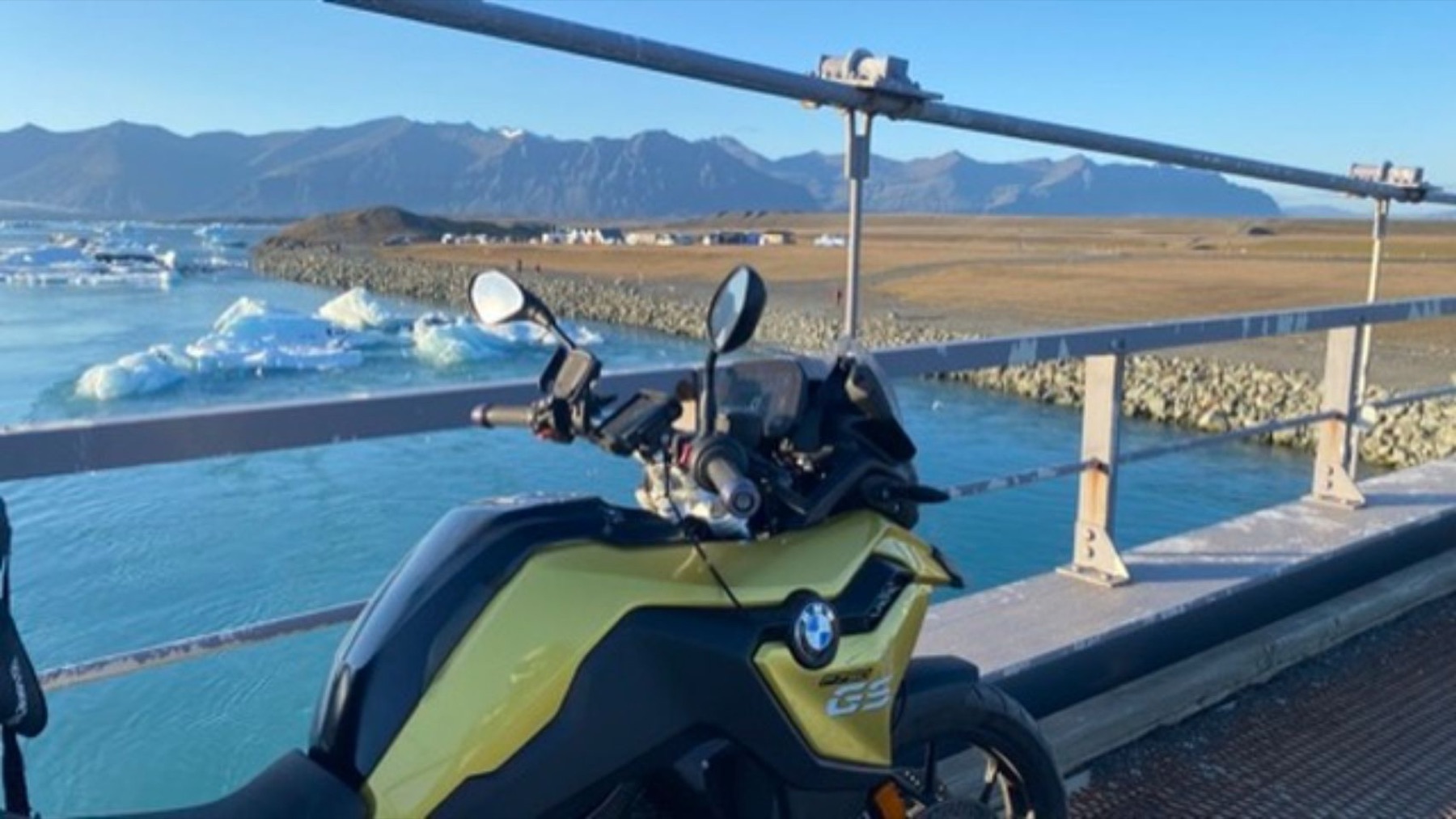 21.8Jokulsarlon. The icebergs calve off the glacier and drift out to sea under this bridge.
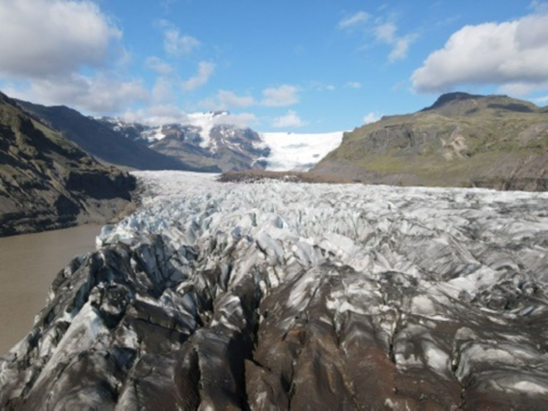 21.9The glacier tongue above the lagoon, up close and filthy with ash.
 21.0
21.0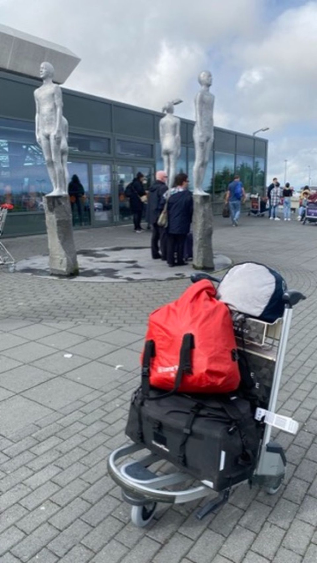 21.0
21.0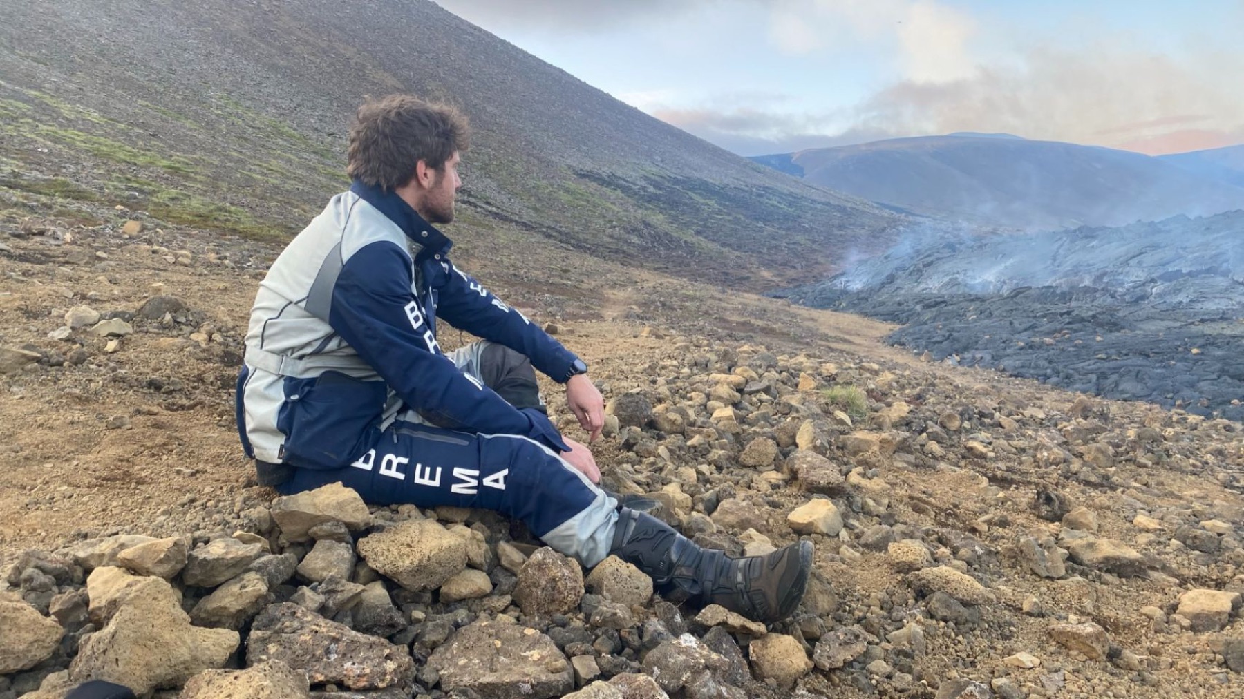 21.0
21.0Flown in from Edinburgh on 5 August 2021 and out to Fagradalsfjall the same day, while it was still erupting. Then Route 1 the whole way round: Skogafoss, Vik, Jokulsarlon, the east fjords, the north, and back to Reykjavik seven days later.
Out of Scotland on a plane, into Iceland on a Monday.
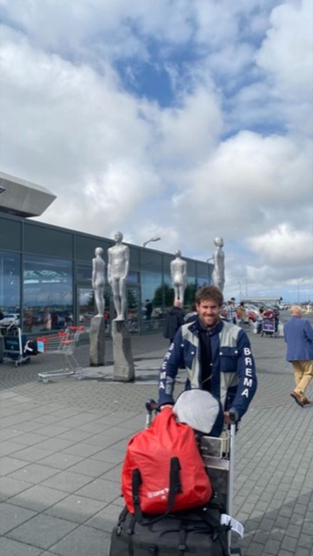
On 5 August 2021 the record jumps from Edinburgh to Sudurnesjabaer, next to Keflavik airport. The silver figures outside the terminal are the first photograph of the leg.
By the end of the same day I was on the Reykjanes peninsula, twenty minutes down the road, standing on a lava field.
What the road kept
You can plan a route around a volcano that is still going.
The eruption was the reason to fly in, and it set the shape of the week: the peninsula first while it was still erupting, then the ring road at whatever speed was left. Six months later the vent was shut. The window was open when I went through it.A volcano that had been erupting for five months.
Fagradalsfjall opened on 19 March 2021, the first eruption on the Reykjanes peninsula in around eight hundred years. It was still going in August, and because it was an effusive eruption in an uninhabited valley, people were allowed to walk up to it.
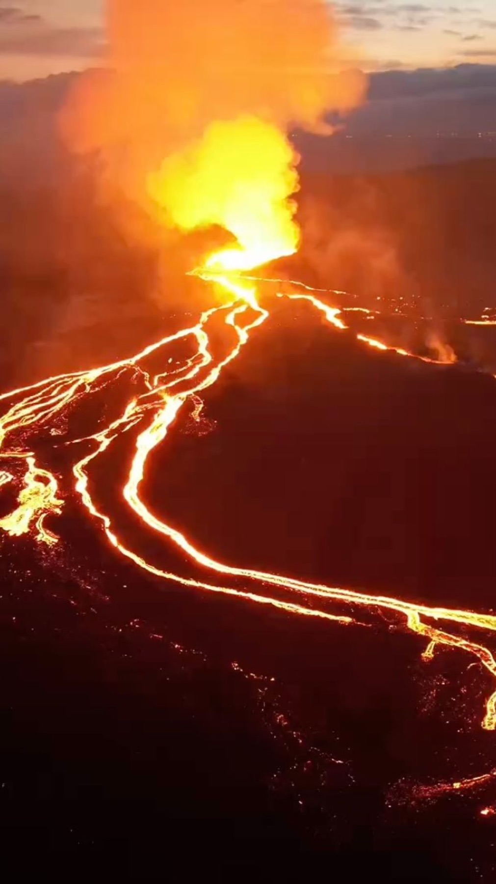
The photographs are from the edge of it: the flow front pushing over cooled rock, the fountain at the vent, cracks in ground that has crusted over on top and is still moving underneath.
I named the step in my own log VOLCAN!, and that is the name it still carries.
Rock that was liquid last week, with the next batch arriving while you stand on it.
That eruption stopped in September 2021. The same fissure system has opened repeatedly since, which is why the road to Grindavik has been cut more than once.
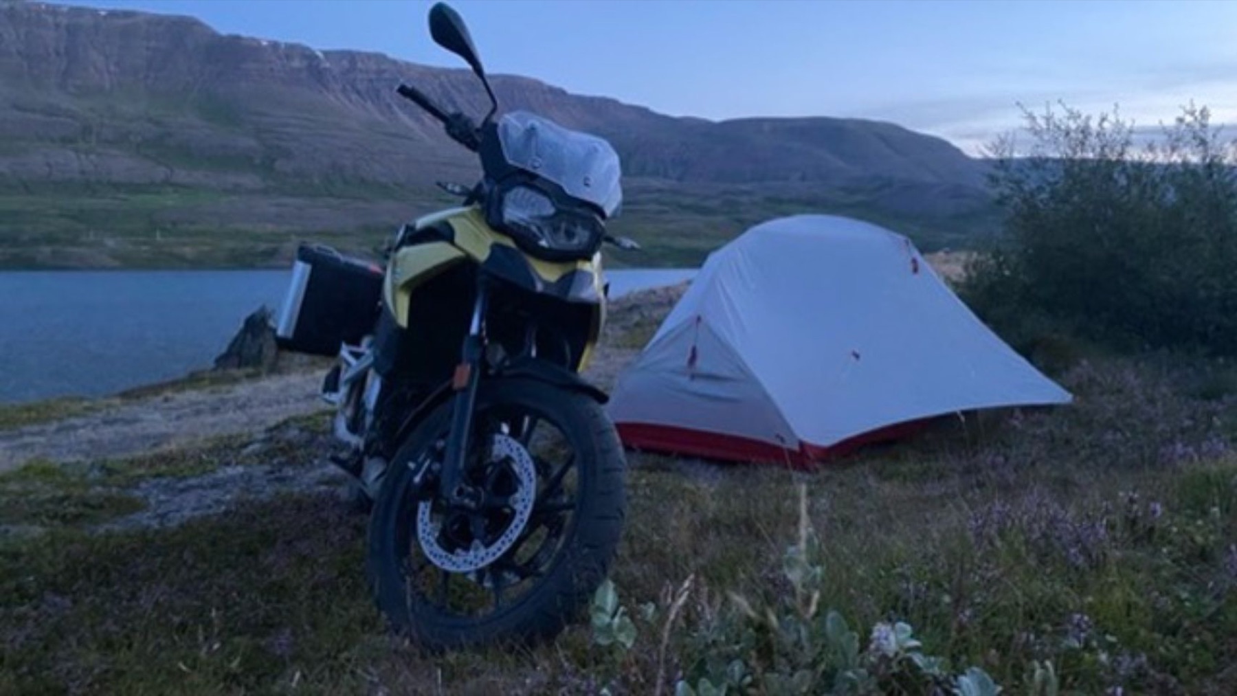 21.10Camp in the east fjords, on the long way round to the north.
Camped on the ridge with the eruption for a night light.
One of the photographs is a small tent on a ridge with the vent glowing orange behind it. Another is the instrument panel of the motorcycle on the road out, with the same orange filling the windscreen.
The next day, 6 August, the log has Grindavik, the fishing town at the bottom of the peninsula and the closest place to buy food.
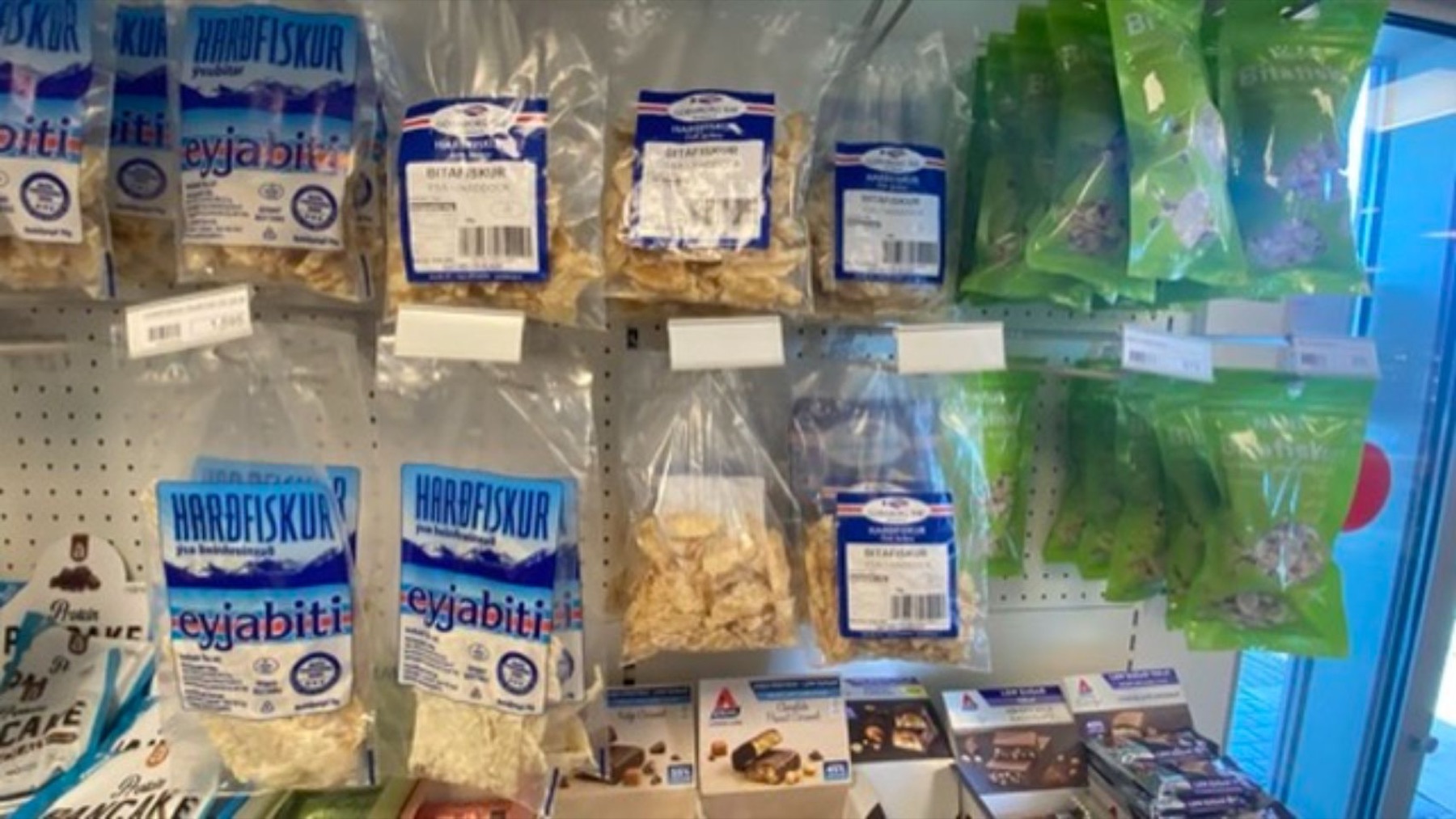 21.11Hardfiskur: dried fish, eaten with butter. An acquired taste, acquired quickly when the shop shuts at six.
Skogafoss, Vik, and the black sand.
From 7 August the route runs east along the south coast on Route 1: Skogafoss first, sixty metres of waterfall you can ride the bike up to, then the Southern Region and on to Vik.
At Reynisfjara, beside Vik, the beach is black sand and the cliff behind it is hexagonal basalt columns stacked like organ pipes. The sea there kills people most years; the signs say so plainly.
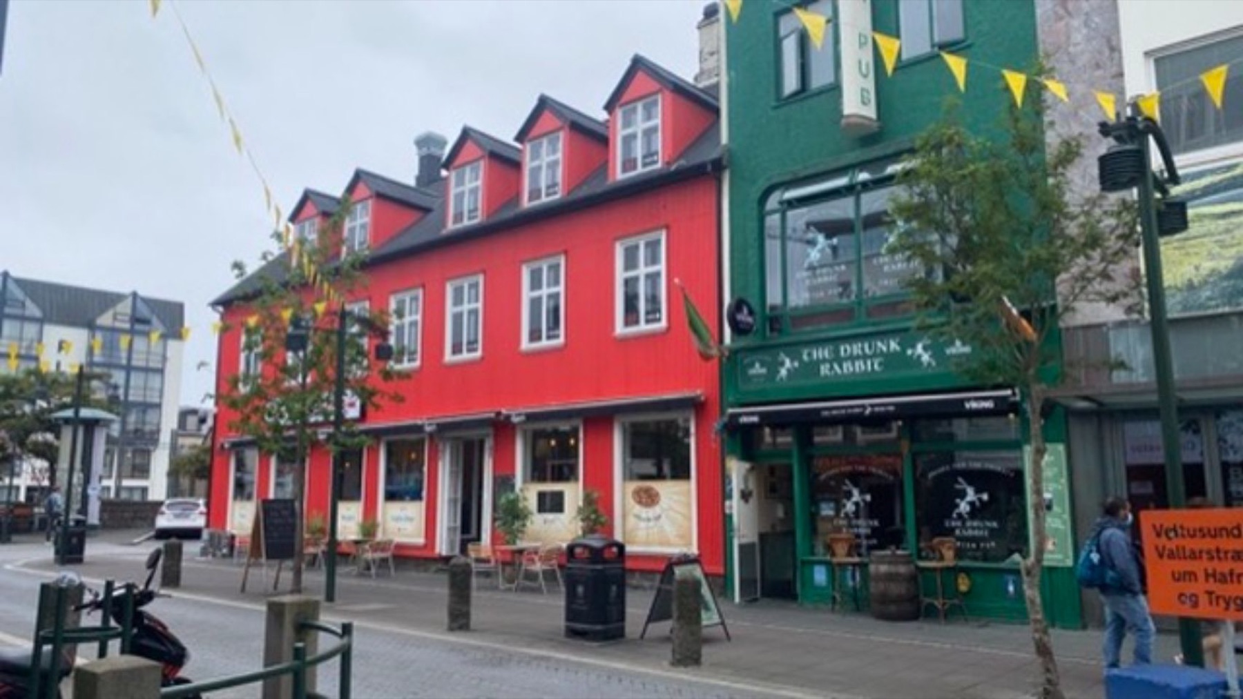 21.12Reykjavik on 11 August, the day before the flight back to Scotland.
Icebergs, then the fjords.
On 8 and 9 August the road turns the southeast corner: Jokulsarlon, where the lagoon is full of icebergs that have calved off the Breidamerkurjokull glacier and drift out under the bridge to the sea, then Hofn and Djupivogur.
After that the east fjords, one headland at a time, and Fellabaer inland on the same day. The photographs from here are mostly the bike, the tent, and nobody else in the frame.
Round the top, down the west, and onto the plane.
The 9th of August covers the whole northeast, the 10th the northwest, and by the 11th the log is at Hafnarfjordur and Reykjavik. That is the ring road closed: right round the island in six riding days.
On 12 August the record is back at Sudurnesjabaer, at the airport, and on the same day it resumes in Midlothian. The bike and the dog were waiting in Scotland.
The field archive
43 more frames from the road
Everything else from the folder, in the order it was taken.
151617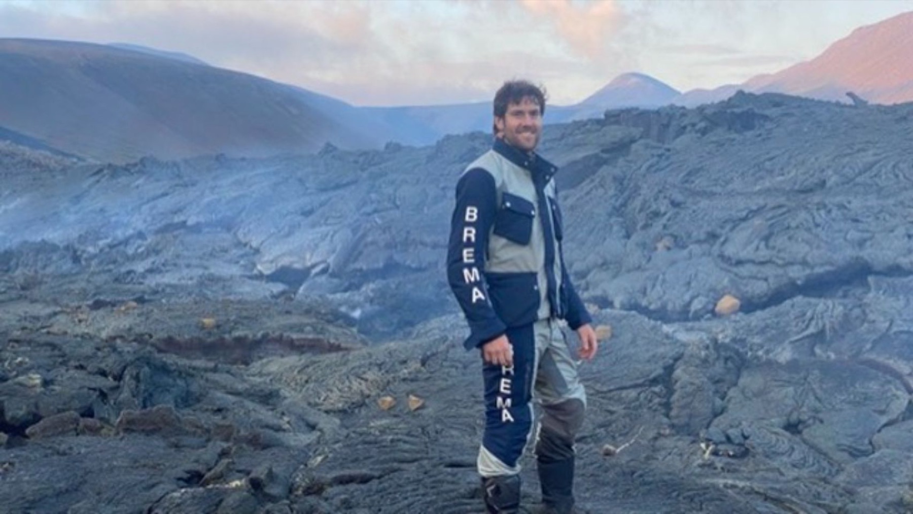 18
18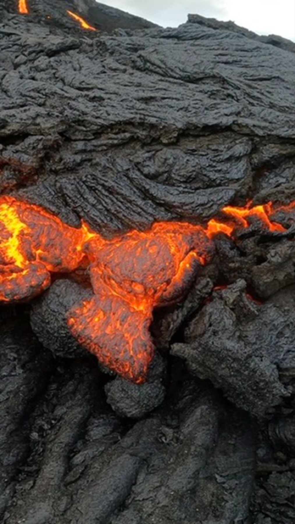 19
19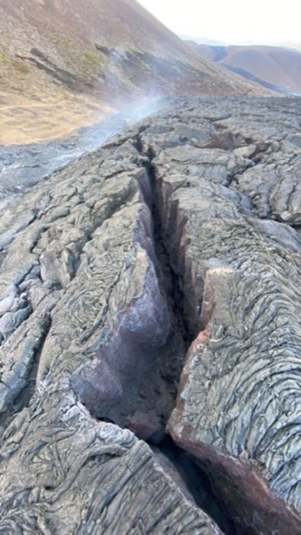 20
20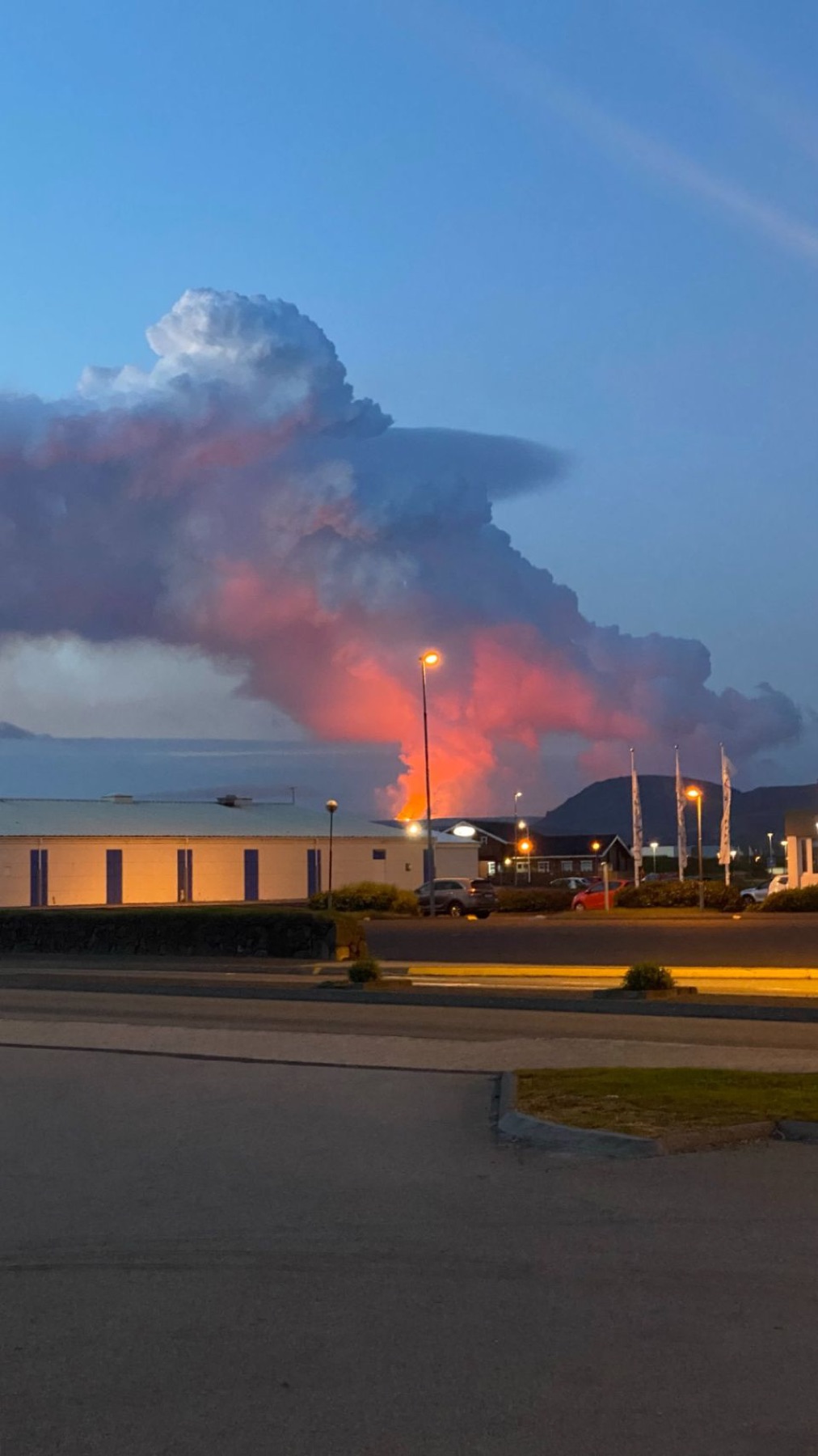 21
21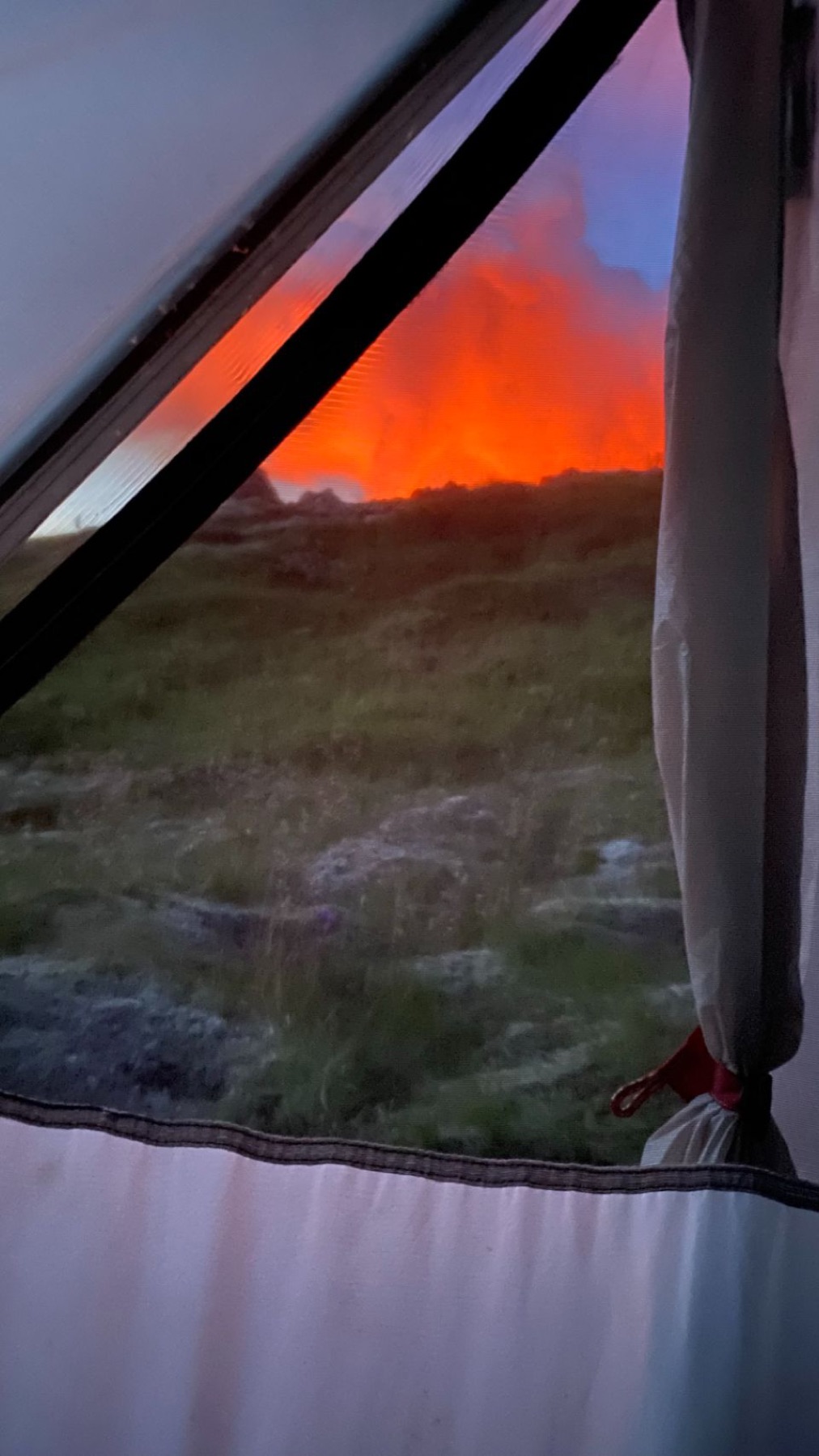 22
22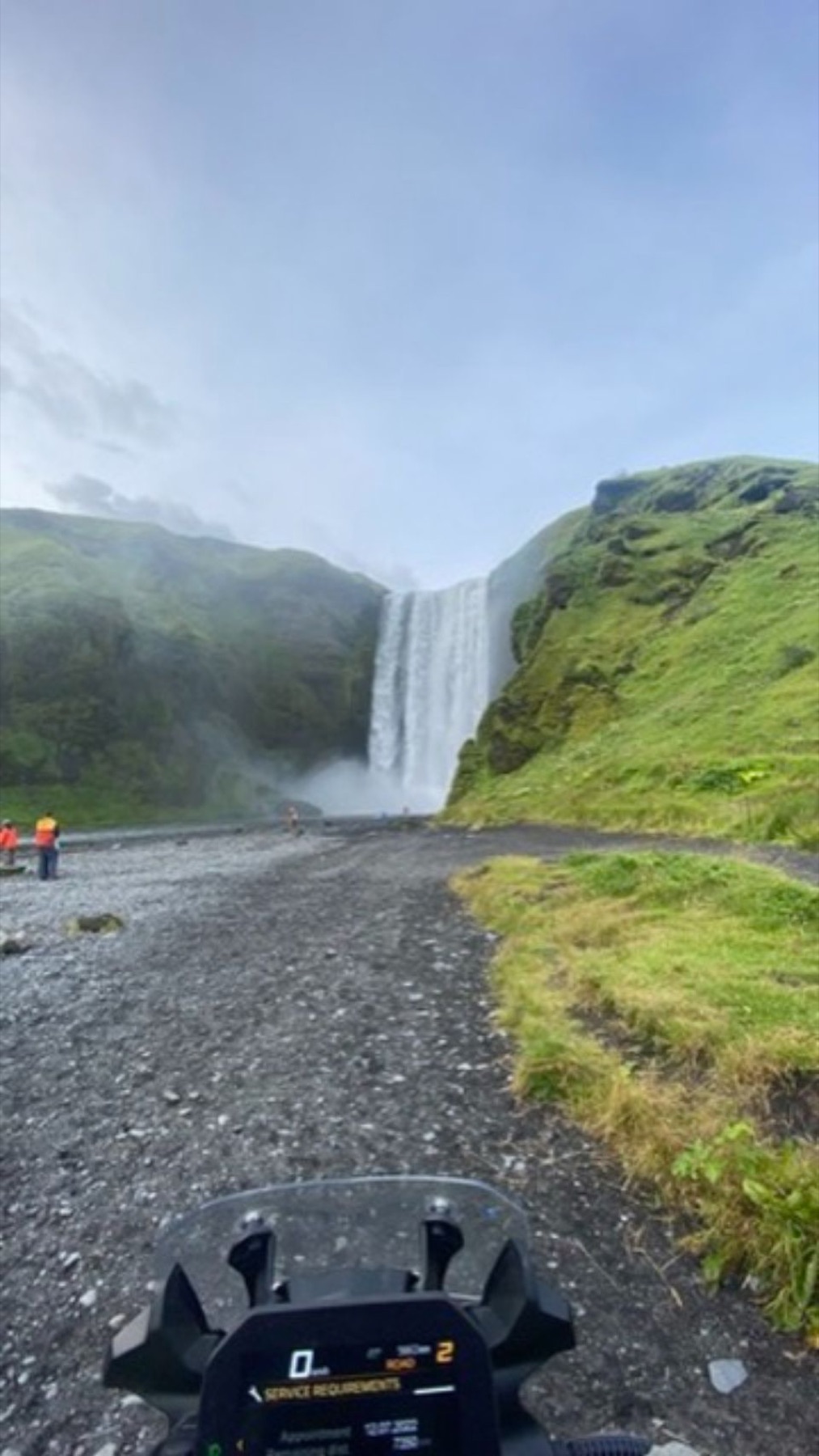 23
23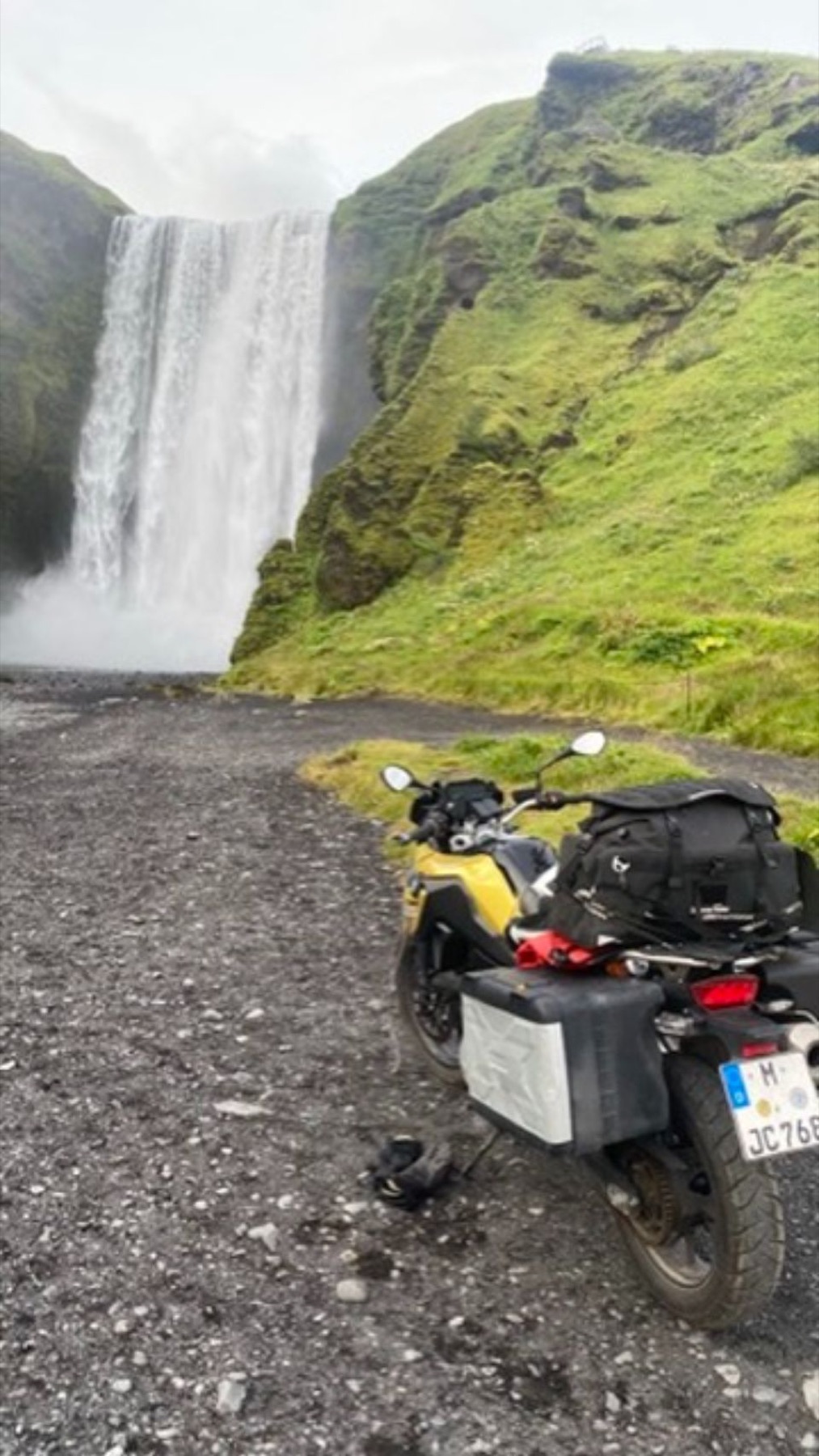 24
24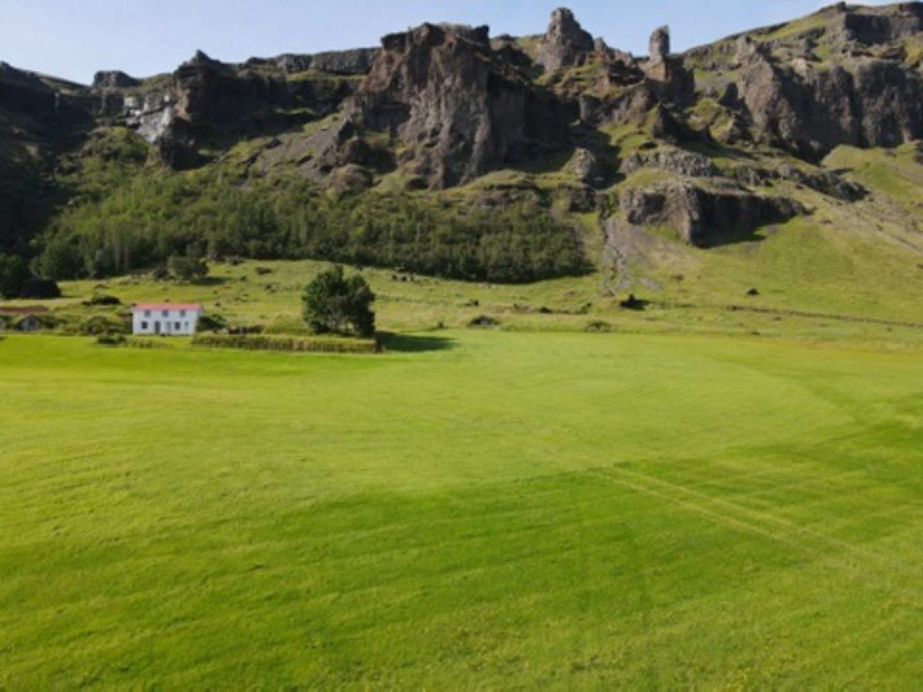 25
25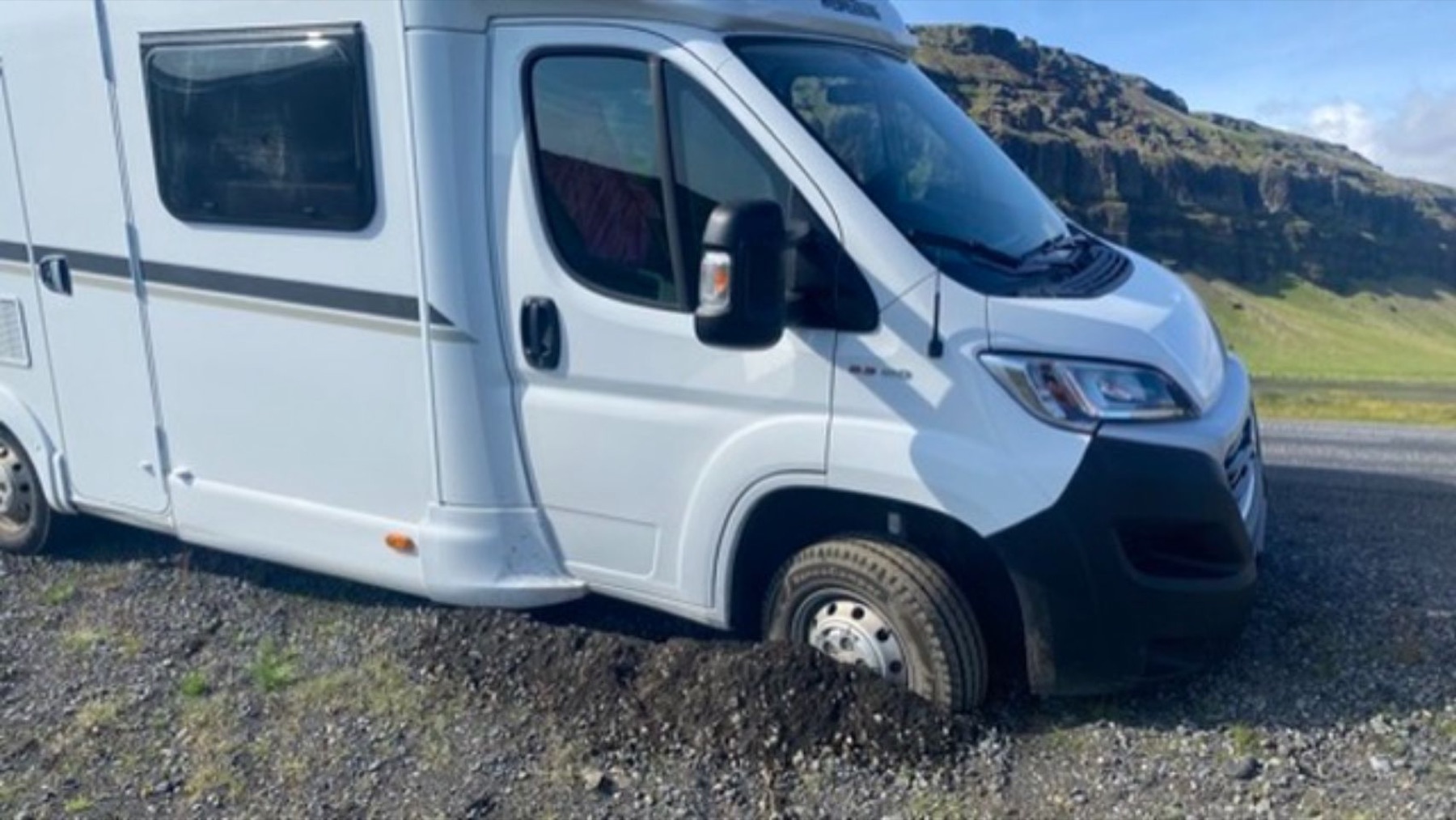 26
26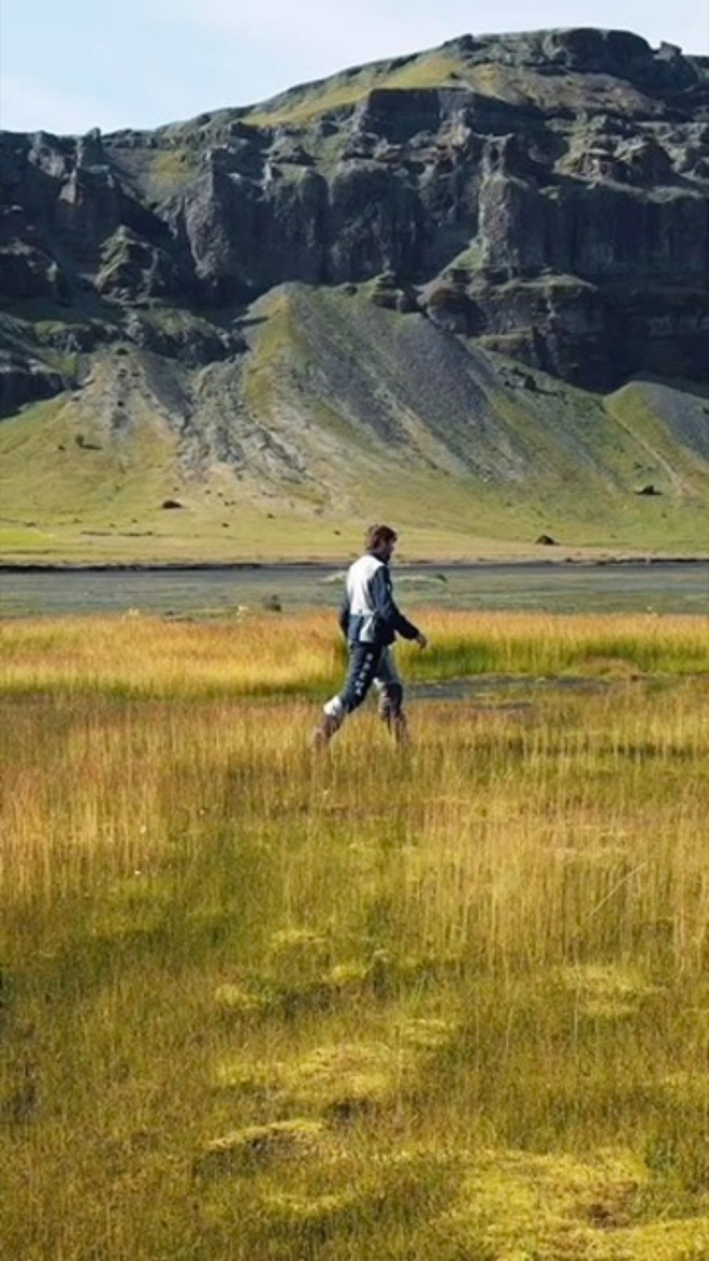 27
27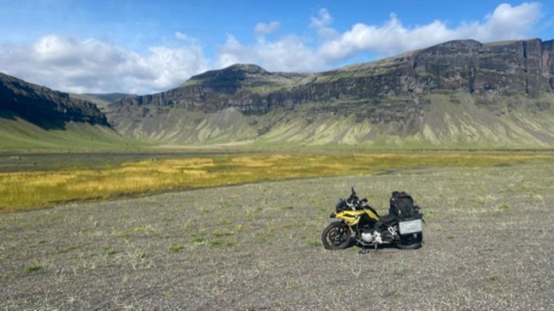 28
28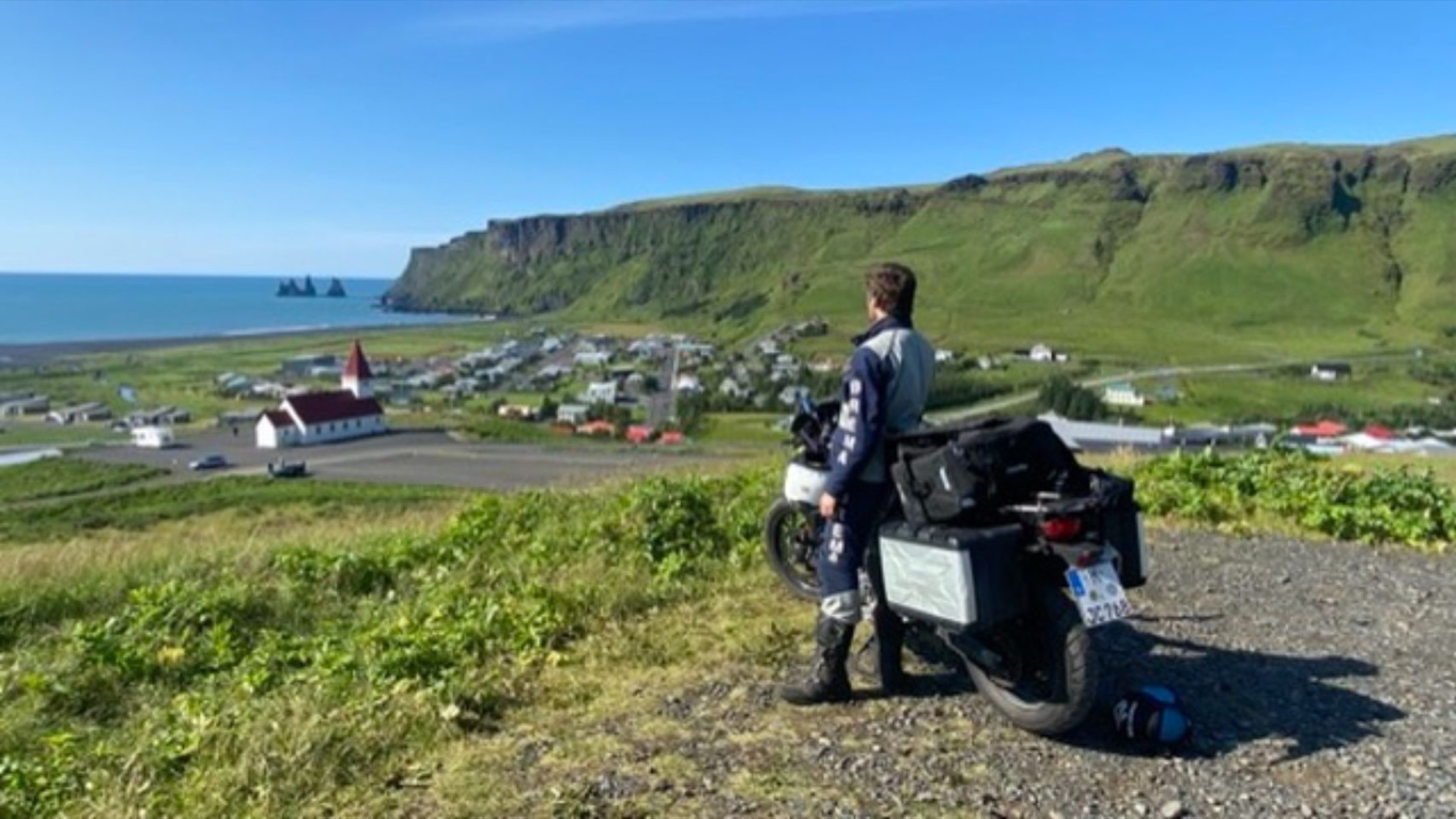 29
29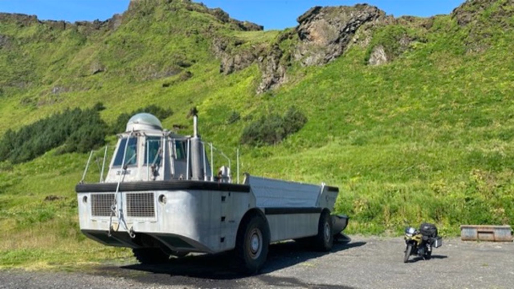 30
30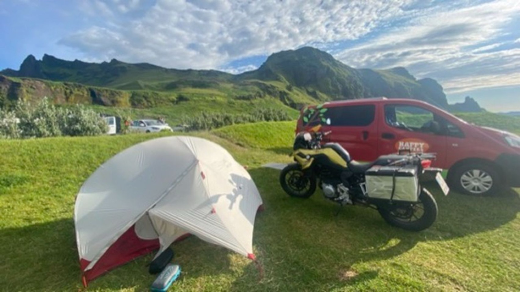 31
31 32
32 33
33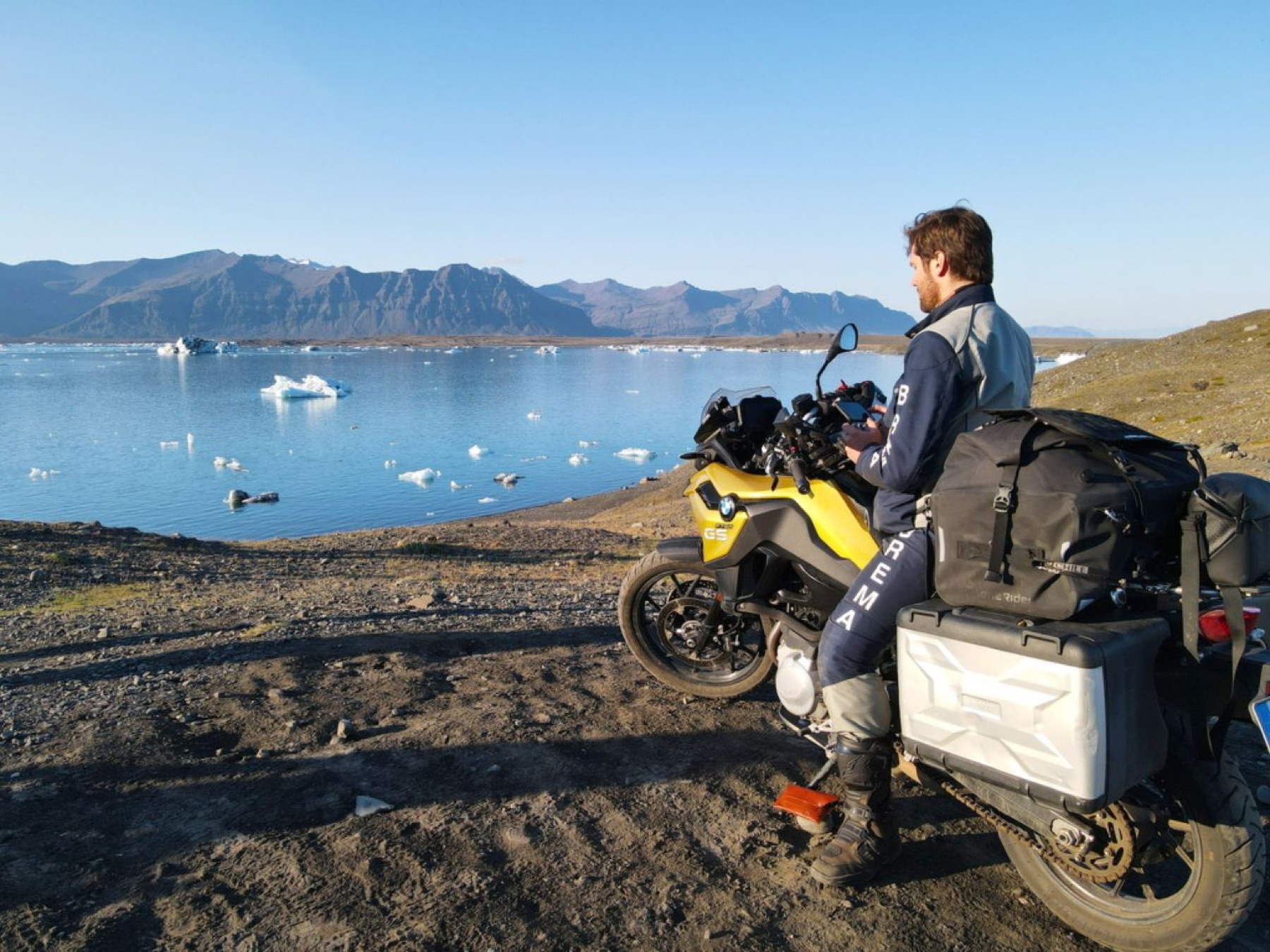 34
34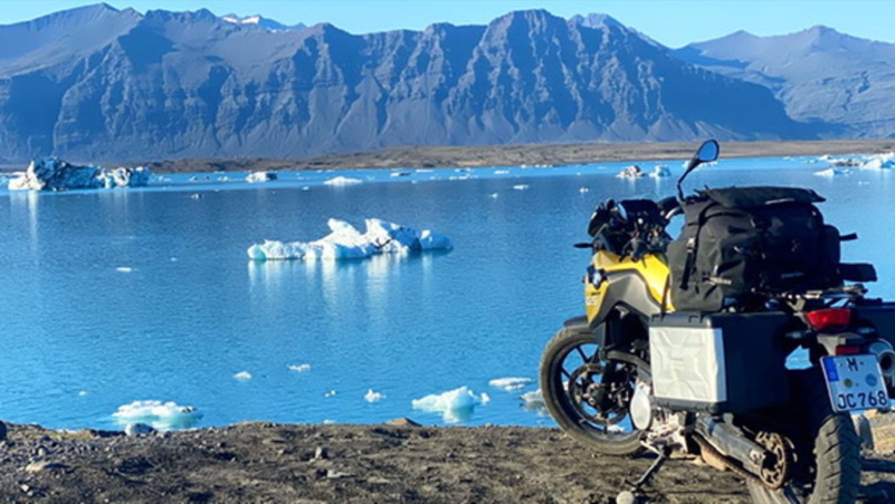 35
35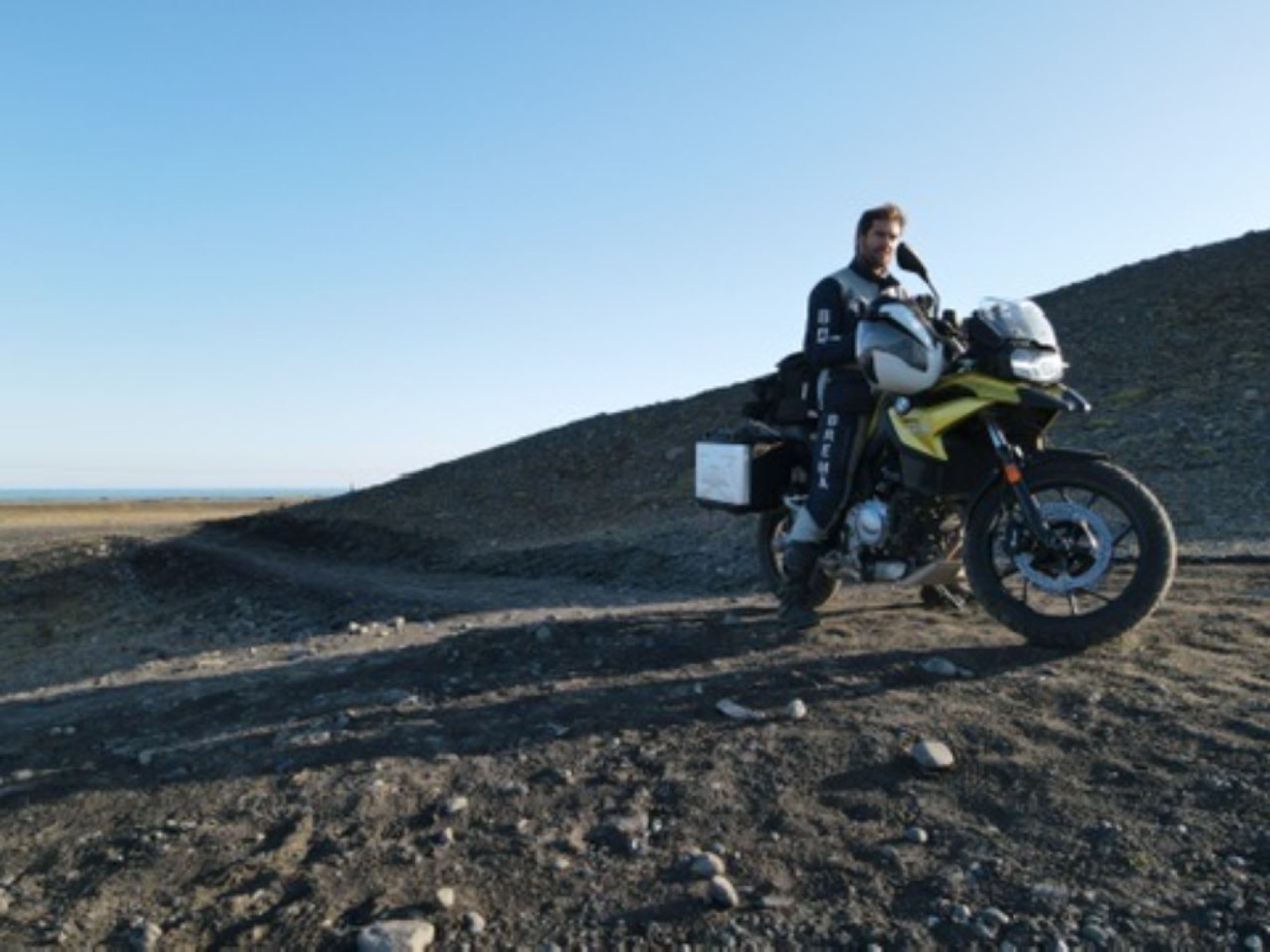 36
36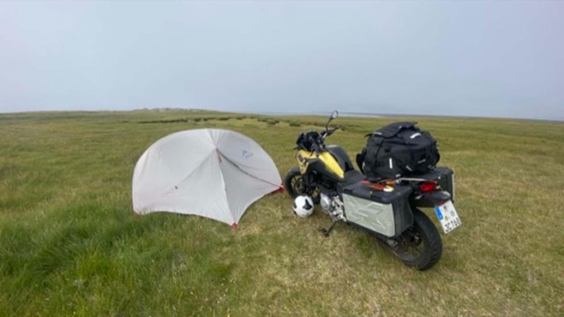 37
37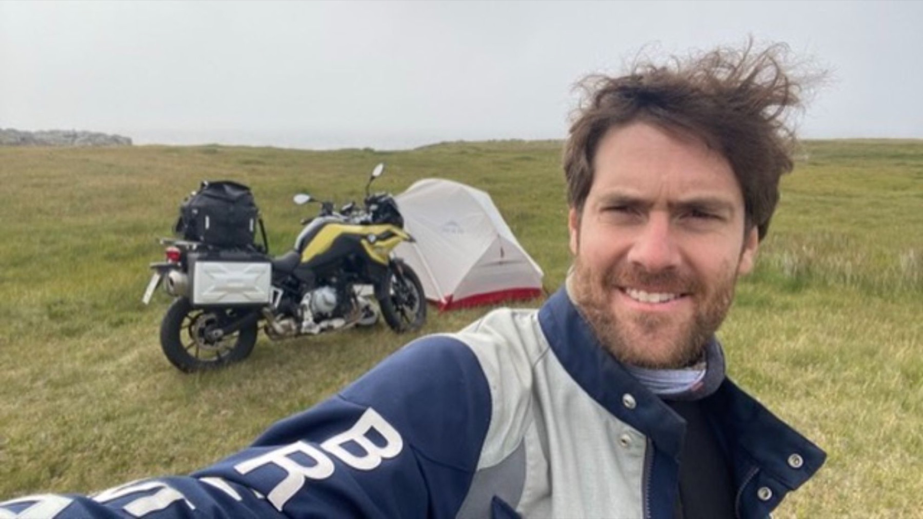 38
38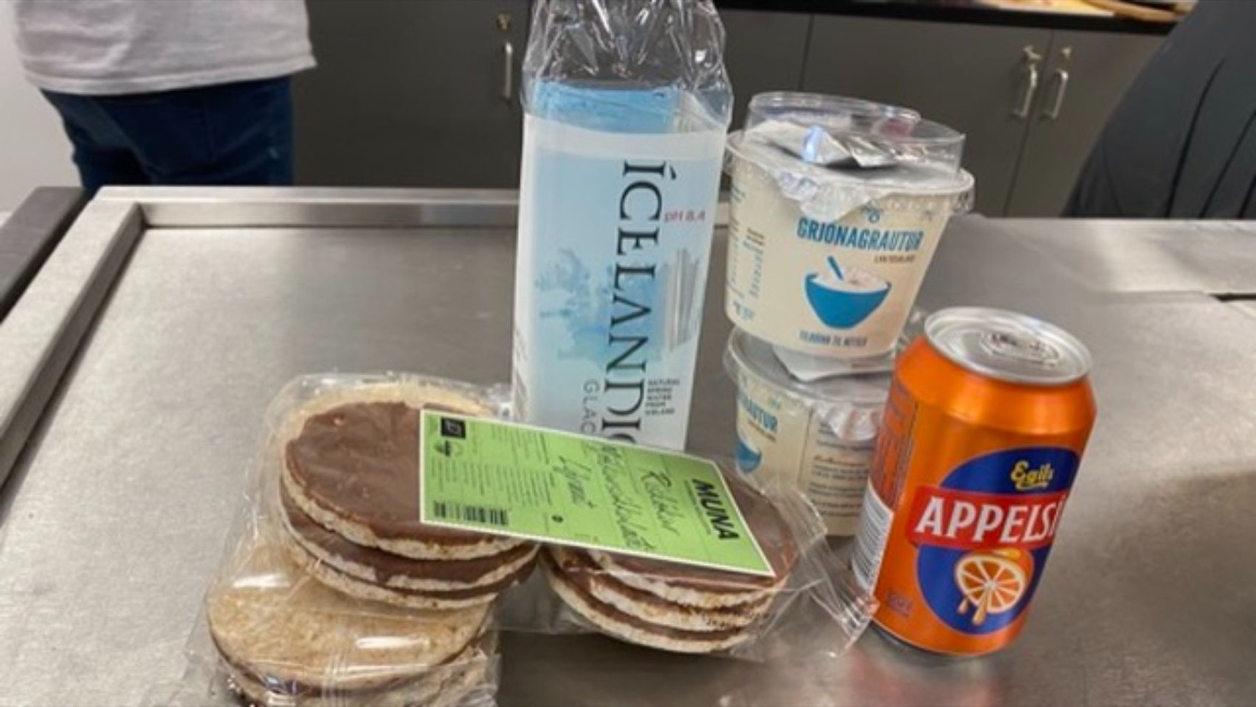 39
39 40
40 41
41 42
42 43
43 44
44 45
45 46
46 47
47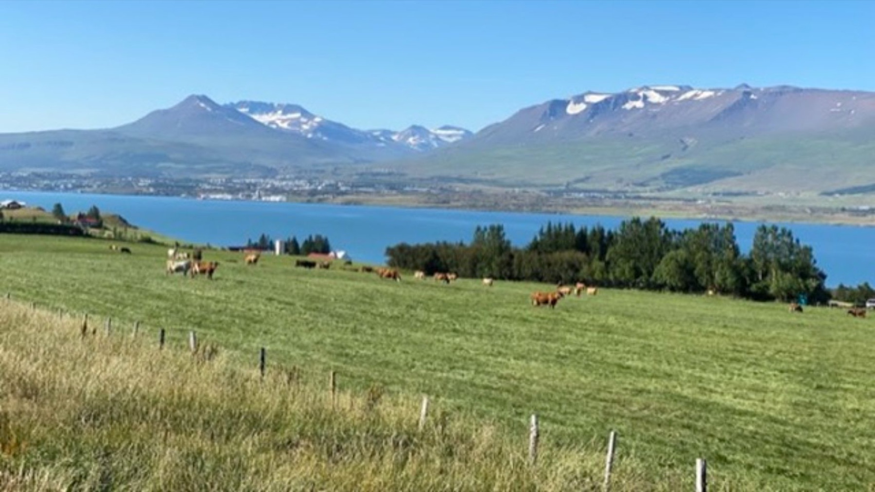 48
48 49
49 50
50 51
51 52
52 53
53 54
54 55
55 56
56 57
57